Pilot description
Area description
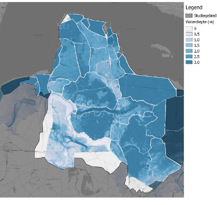
Figure 1: Flood risk map of the Kloosterzande area (in depth case of the pilot for Zeeland as a whole). Figure from Nelen & Schuurmans, 2018
The province of Zeeland lies in the southwest of the Netherlands with a total area of 293.000 hectares.
Number of inhabitants: 380.000 people (FRAMES pilotbook, 2019)
Relevant characteristics of the water system (main water bodies): The Rhine-Meuse-Scheldt Delta and North Sea are the water bodies in this region.
Flood risks
- Rainfall (minimal to no impact) / sea flooding
- The risk of flooding is low for a return period of 1:4000 years (interview with pilot manager, 2019).
- Impacts: if a flood causes electricity failure in the Kloosterzande area (north of Hulst), the electricity assets in the town of Hulst will also be affected even though this area does not get flooded (interview with pilot manager, 2019).

